summer
|
fall
87
The landslide was the largest detected since the collapse at Mount St. Helens, which blew its top back in May 1980. Its signature appeared almost
simultaneously in seismograms monitored by the Global CMT Project at Columbia University’s Lamont-Doherty Earth Observatory all the way on the
other side of the country.
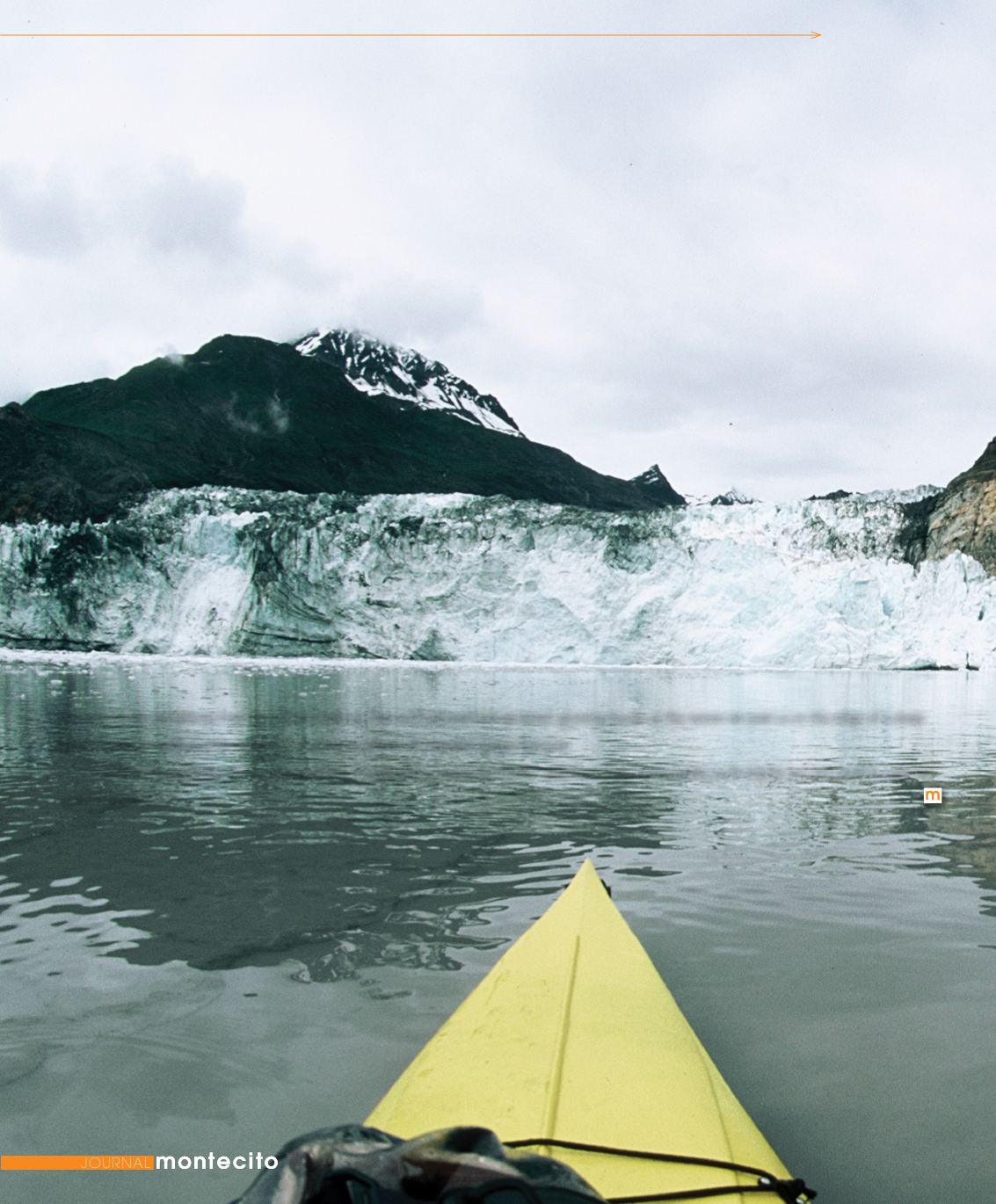
Soon after, a significant tsunami followed and satellite images show the damage done to one of the steep peninsulas that are exposed protruding
inside the Taan Fjord. The particular peninsula is located about six miles from the Tyndall Glacier. The fallen trees lying around the peninsula were in a
pattern associated with the aftermath of a tsunami. We paddled around this peninsula. The shoreline was rocky and steep, and the treeline began at the
water’s edge. The trees continued up a steep knoll, and from the satellite images only the trees at the top of the knoll still stand. The rest of the trees had
been ripped out down to the bedrock.
After 30 miles of paddling, we returned to our camp at about 9 pm. The tide was on the rise
and with it the pulse of a new, long period swell. A set was rolling up the entire
shoreline of Icy Bay. Gray overcast was hanging low over the frigid water,
and ice floes were choking the bay. Long, sweeping lines wrapped
around Kageet Point and the sound of the surf rolling toward us was
FAR
FLUNG
TRAVEL
ominous. It was something I had never heard before. The surf bellowed and groaned, growing louder as the waves ran past us on the edge of a steep
berm of cobble, nullifying the repetitive honking by a flock of Canadian geese flying by.
“I’ve often thought about how screwed I’d be if something happened there,” said Donohue. “Fortunately, such events are rare, but I’m glad we
weren’t there then.”


