Basic HTML Version


Santa Rosa’s fifty-two miles of coastline encircle 84 square miles of
land, which translates to roughly 54,000 acres. Of the eight Channel Islands
(five of which are part of Channel Islands National Park), Santa Rosa is the
second largest, and the second most westerly. In order to really appreciate the
island’s scale, one needs to cross the twenty-six miles of Pacific Ocean that
today separate Santa Rosa Island from Santa Barbara’s coast. But that’s as the
crow flies. The only way that we, the people, can legally access our property
on Santa Rosa Island is through an official Park concessionaire, which means
a forty-six mile boat trip from Ventura Harbor, or a 25-minute flight... from
Camarillo. So it takes planning, effort, and money to visit Santa Rosa Island,
but doing so makes you a participant in the ongoing parade of visitors, both
human and otherwise, who have made the crossing to this isolated location
that truly deserves that ubiquitous adjective – it’s unique.
At one time, that gap across the ocean was only five miles or so, when
four of today’s Channel Islands – Anacapa, Santa Cruz, Santa Rosa and San
Miguel – formed one huge island known today as Santarosae. The existence
of this large landmass just off the mainland corresponded with the last glacial
period of the Pleistocene epoch, roughly 12,500 to 110,000 years ago.
Sea level around the super-island was hundreds of feet lower than today,
but when the ice began to melt and water levels rose, the individual islands
formed. Thus were the conditions that contributed to Santa Rosa’s earliest
history, which lay hidden until nineteenth century scientists began the research
that is still ongoing, continuing to reveal the island’s secrets.
Santa Rosa Island has had a few different names, the earliest being
Wi’ma
,
which meant “redwood” in one dialect of early Chumash settlers. (Although
“Chumash” is an all-encompassing term today, originally it was a word used by
native peoples on the mainland to denote island-dwellers.) Evidence of more
than two dozen villages and a nearly equal number of burial grounds indicate
that
Wi’ma
was occupied by a series of aboriginal people – thousands of them
over the years – before the Spanish sailed into the Channel in the sixteenth
century. Middens have been found in the coastal areas, as well as the middle
of the island, where wind action created caves in the interior canyon cliffs that
proved suitable for dwelling.
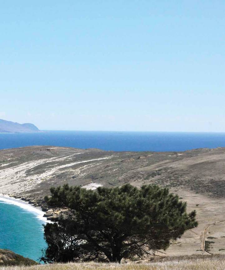
Wind has been an omnipotent feature of Santa Rosa Island, not only
from ancient times, but up through the twentieth century, when vaqueros who
worked there during the ranching era exchanged their cowboy hats for baseball
caps, which were less likely to be blown from their heads. From the beaches to
1,589-foot Vail Peak, no part of the island has been untouched by the winds,
winter
|
spr ing
93